
Map a Springettsbury Street to Its Parcel
Begin a Springettsbury Township street directory search by writing the address in one consistent form: number, direction or route wording, street suffix, unit, postal city, county, and ZIP. A York mailing label can refer to the Township rather than the City of York. The County GIS view is the useful first check because it places the address on a parcel and shows municipal context. That map step prevents a nearby York County address from being assigned to the wrong jurisdiction.
Then keep the record layers separate. The assessment roll is a property record, the map is spatial context, and the recorder is the custodian for recorded documents. Their overlap is valuable, but none is a complete household roll. A by-street search is strongest when each name or document is tied back to the same parcel identifier and legal description.
- Locate the normalized address in the York County Property Viewer and note the parcel and municipality.
- Use York County Assessment Public Access for the current property record, or contact the Board of Assessment counter when the portal is unavailable.
- Compare the owner name, mailing lead, situs address, and legal description without treating them as interchangeable.
- Search the owner and property clues in the York County Online Record System, then match the recorded document to the parcel.
- For an authorized voter question, use the York County request route. For a dated physical-work question, use the Township permit report or a narrow records request.
Note: A street number alone can change meaning after a parcel split, route change, subdivision, or postal-label difference, so preserve the parcel and document references.
Springettsbury Street Directory Assessment Fields
York County Assessment Public Access is the current-property starting point for a Springettsbury Township street directory. Its public form accepts partial information, which is useful when a street suffix or owner spelling is uncertain. The portal was under maintenance when the research was inspected. That makes the Board of Assessment counter, 28 E. Market Street, Room 105, York, PA 17401-1585, at 717-771-9232, the practical fallback instead of a promise that the web form will always be live.
| Assessment field | How it accepts a Springettsbury search | Useful result order |
|---|---|---|
| Parcel | Full or partial 18-digit parcel number | Parcel |
| Owner Name | Full or partial name in Last First Middle order, without a comma | Owner |
| Address Number | Street number | Location |
| Direction and Street | Direction may be blank or a compass choice; street may be partial | Location |
| Sort and display | Parcel, Owner, Location, or Class; ascending or descending; 15 to 50 results | Review order |
The Advanced Search uses selected criteria such as municipality, owner name, parcel number, street name, street number, sales date, and land or building details. It is not a claimed street-wide resident list. A property result can supply a current parcel and owner lead, then the deed book/page, sales, permit, or map tabs can help keep the address trail organized.
Review the Assessment Public Access landing screen before starting an online lookup.
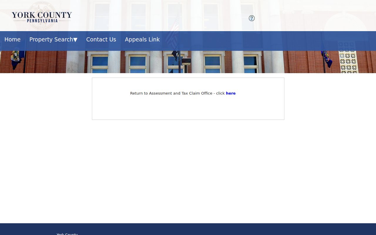
The captured screen shows the Basic, Advanced/Sales, and Map entry modes. When a maintenance notice appears, keep the address and parcel details ready for the Assessment counter rather than relying on a stale result.
Springettsbury Street Directory Map Context
The York County GIS portal gives a street directory its map layer. Its Property Viewer can confirm a parcel, property address, owner information, tax context, municipality, and adjacent lot geometry. The underlying configuration includes an address locator and a Buffer Parcel function. Those facts support a parcel-neighbor workflow, but they do not justify a claimed fixed radius, export option, layer list, or exact click sequence that has not been verified in the live interface.
Use the viewer to locate a known address, identify the selected parcel, and pan along the roadway. Then open each relevant assessment profile rather than assuming a map label proves legal title. A mixed-use parcel, vacant tract, institution, or business address can sit near a residential-looking block. The GIS map provides location context, not a count of residents.
See the York County GIS portal entry point used for the Property Viewer.
The viewer is most helpful before a deed search because it ties the street label to a particular parcel shape and municipality.
Springettsbury Street Directory Address Terms
Three address-related fields answer different questions in a Springettsbury Township street directory. Matching them prevents a common error: treating correspondence, a physical place, and the land description as though they name the same thing. The county assessment record can show each type in a different place, while the recorder uses the land description to match a document to the parcel.
- Parcel
- A county identifier for a mapped property. It links the assessor roll to the map and gives a stable research reference when a street label changes.
- Situs address
- The physical location of the parcel or building. It is the address to normalize for a map or postal check.
- Owner mailing address
- The correspondence address in a property record. It is a lead, not proof that the owner is physically present at the situs.
- Legal description
- The lot, subdivision, metes-and-bounds, or other land description used to match a recorded document to the right property.
- Criss-cross directory
- An address-indexed directory volume, if a repository confirms the requested year and locality coverage.
For postal verification, use the official USPS ZIP Code Lookup and then return to the County GIS map for municipal geography. York, 17402, or 17406 on an envelope does not alone settle whether an address is within Springettsbury Township.
York Recorder Documents Along a Street
The York County Recorder of Deeds supplies the recorded-document side of a Springettsbury street directory. Search the current owner or entity name and use the document date, grantor, grantee, and legal description to decide whether the result belongs to the parcel. The public system provides index and document information, but the Recorder warns that records in processing may not appear online, in its in-house system, or in the permanent index at a given moment. It also says online information is not certified.
Coverage is deliberately overlapping. The Recorder identifies Landex deeds and miscellaneous records from 1944 forward, mortgages from 1974 forward, parcel-ID lookup from 2001 forward, Info Quick Solutions from 1749 to 1980, and a historic deed/index path for 1749 to 1943. A missing web result needs an office or archival check, not an assumption that the property had no earlier owner. The Recorder counter is at 28 E. Market Street, Suite 122, York, and has a separate copy procedure.
Open the York County Online Record System to see its public-service disclaimer before searching.
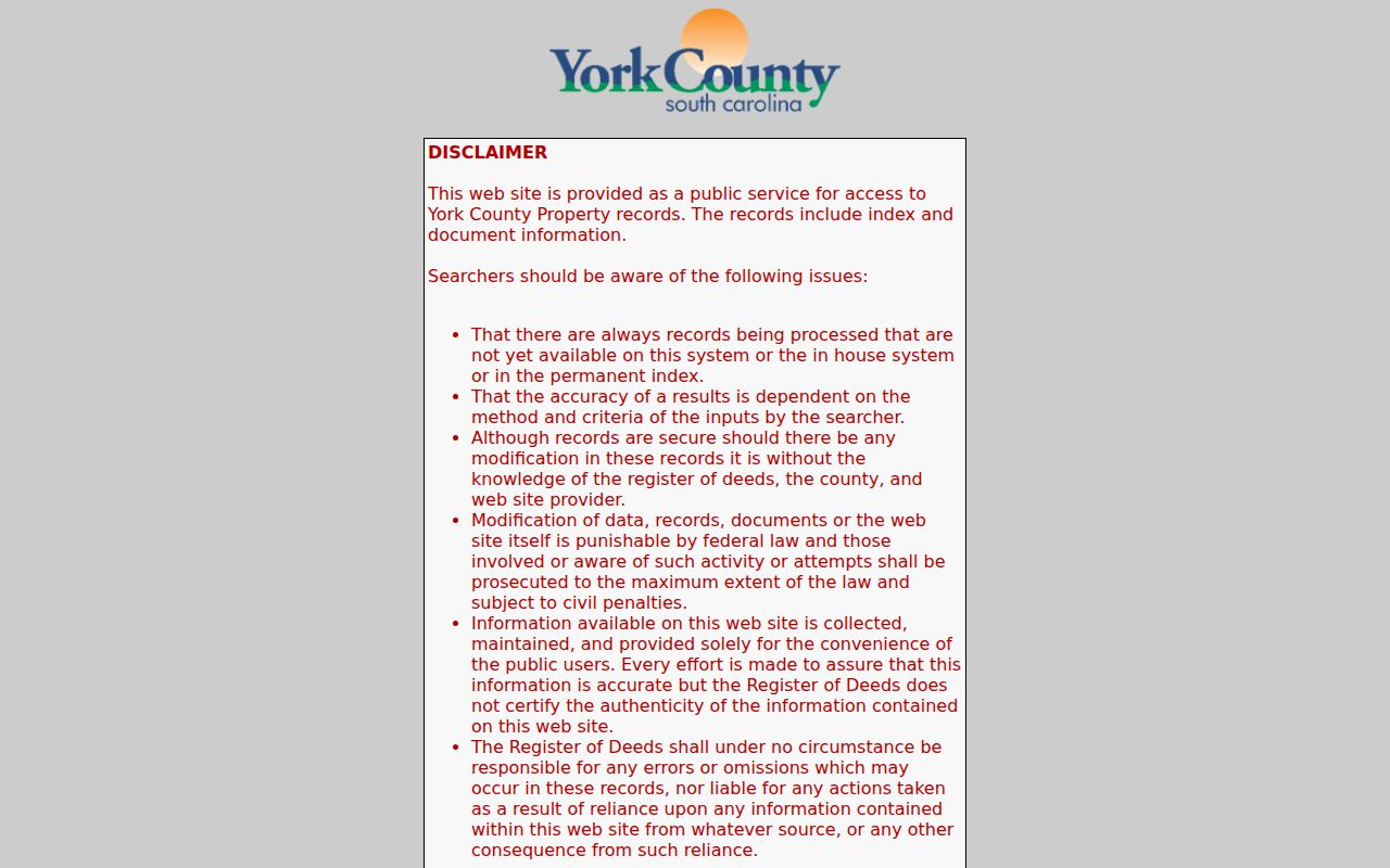
The screenshot is a reminder to record the returned document number, date, and book/page, then verify the document through the Recorder when accuracy or certification matters.
Note: The Recorder’s alert service is a recorded-document notification tool, not proof of ownership or a substitute for reading the recorded record.
Springettsbury Permit Reports by Address
Township permit material adds a dated work layer to a Springettsbury street directory. The monthly reports are not an address-search engine and do not establish who lived at a property. They can, however, point to a construction change, a listed contractor, or a date range for a narrower file request. The verified row fields are Permit Type, Permit Number, Issued Date, Property Address, Description of Work, Status, and Primary Contractor.
For older or more specific material, ask Springettsbury Community Development to review an existing file, or submit a focused Township Right-to-Know request. Describe an existing record by property address, document type, and date range. Requests may be emailed, mailed, faxed, or hand-delivered to the Township Open Records Officer. The Township explains that a written request normally receives a response within five business days, with a permitted extension in qualifying cases.
| Record path | Use and limit |
|---|---|
| Use the report for | Dating work and finding a narrow permit or zoning-file lead. |
| Use the request route for | Existing address-specific permits, approvals, plans, inspections, or code files. |
| Do not infer | A complete household list or a complete history from periodic posted rows. |
York County Street Lists Are Controlled
A York County Street List is the official voter-record channel that can relate to a defined Springettsbury street, but access is conditional. The list may include voter name, residential and mailing addresses, party, and status. The state’s Check My Registration Status service is for an individual confirmation, not for browsing a whole street.
York County directs a selected-area request through its public-records form, returned in person or by mail. The county says a requester must affirm qualified-elector status and follow Election Code purpose restrictions. The material cannot be published online as a street or public-information list. It also excludes many people and facts, including protected registrations and any conclusion about actual physical presence. The office, rather than a copied list, remains the proper source for an authorized request.
Read the County’s Street List and Election Code instructions before requesting access.
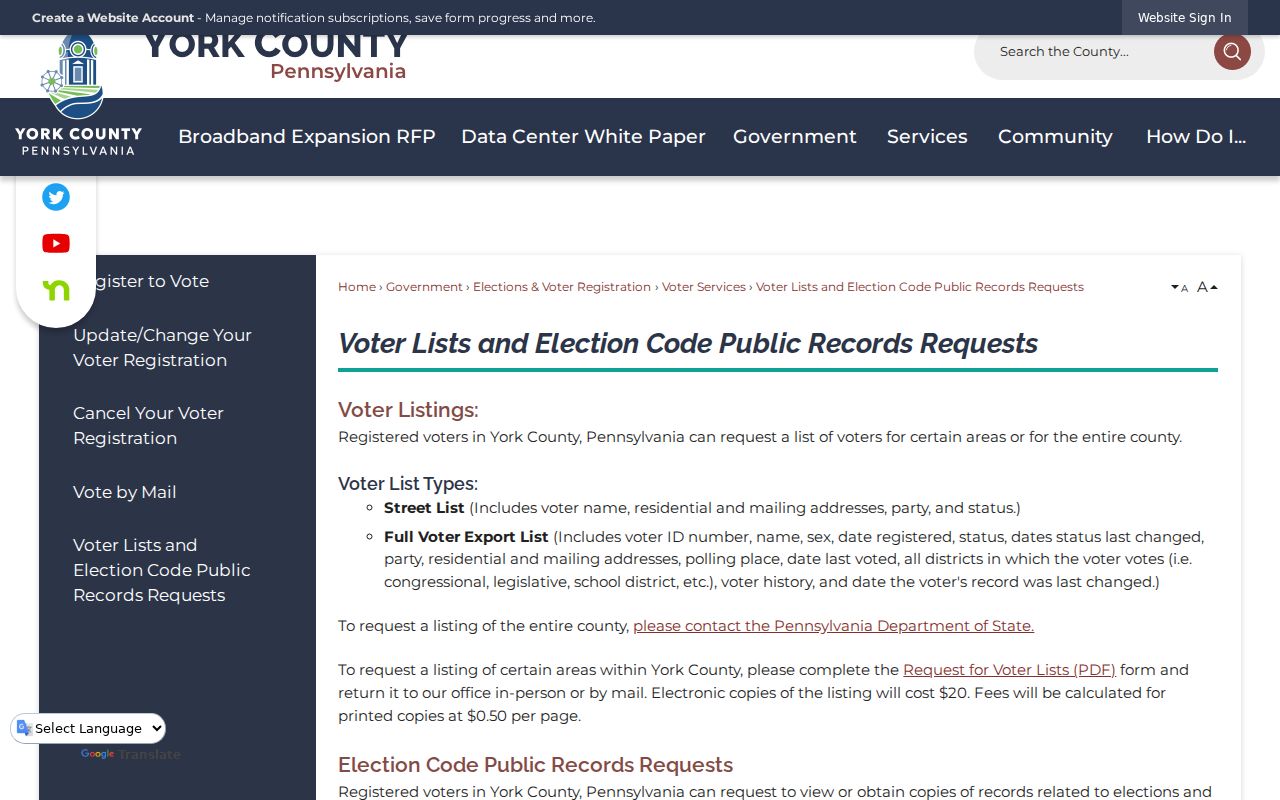
The official instructions identify both the contents and limits of the request path, which is why no street list is reproduced here.
Records Behind a Springettsbury Street
A useful address record chain combines several narrow sources without making them say more than they do. The address ties the assessment roll, map, recorder index, municipal file, and voter-list request to the same place. The source table shows what each channel can establish and where its boundary begins.
| Address record | Springettsbury question answered | Keeper and access | Important limit |
|---|---|---|---|
| Assessment profile | Parcel and owner-of-record lead | Board of Assessment portal or counter | Maintenance can interrupt online access |
| GIS Property Viewer | Parcel placement and adjoining lots | York County Planning Commission GIS | Map context is not title certification |
| Recorded documents | Transfer and legal-description trail | Recorder index and counter | Processing and noncertification caveats apply |
| Permit file | Work and approval timing | Township reports or targeted RTKL route | Not a person directory |
| Street List | Authorized voter-registration record | York County Elections request channel | Conditional use and no internet republication |
The local parcel path answers a street question. A person-focused question needs separate name, court, or historical evidence rather than a wider reading of one property record.
York Labels in Springettsbury Street Searches
York has several meanings in a Springettsbury Township street directory: postal city, county seat, recorder location, and directory label. None automatically means the City of York. Confirm a present parcel in GIS, use USPS for delivery formatting, and ask historical repositories which locality heading a dated source uses. This small geography check avoids placing the same old road in the wrong modern municipality.
Older records need a second name check. Land in present Springettsbury was associated with Hellam Township from 1739 to 1822, Spring Garden Township from 1822 to 1891, and Springettsbury after 1891. No Townshipwide dated street-renumbering schedule was verified. For a disputed older road or lot, compare a deed, plat, map, and Township planning or historical file rather than claiming a blanket renumbering rule.
Limits of a Springettsbury Street Directory
A Springettsbury Township street directory can document parcels, owners of record, recorded transfers, dated permit activity, and authorized voter-list access. It cannot establish every person at an address, a complete private-contact list, protected addresses, utility accounts, vehicle information, or a complete history from a single search. An owner mailing field may differ from the parcel location, and a record gap can reflect processing, restricted access, or a source with limited coverage.
The Pennsylvania Address Confidentiality Program can protect qualifying participants through a substitute address. Voter material has statutory restrictions, and driver or vehicle records are governed by separate privacy rules. Correct an error with the custodian that holds the record rather than repeating an unverified online claim.
Lawful use. Use Springettsbury Township address records for personal, lawful research and civic or family-history questions. Stalking, harassment, intimidation, or harm directed at any person is prohibited.